
BOISE, Idaho — Multiple fire crews are battling two fires near U.S. Highway 26 in Eastern Oregon, which started Early Thursday morning. The fires are called the Cow Valley Fire and the Bonita Road Fire.
Cow Valley Fire
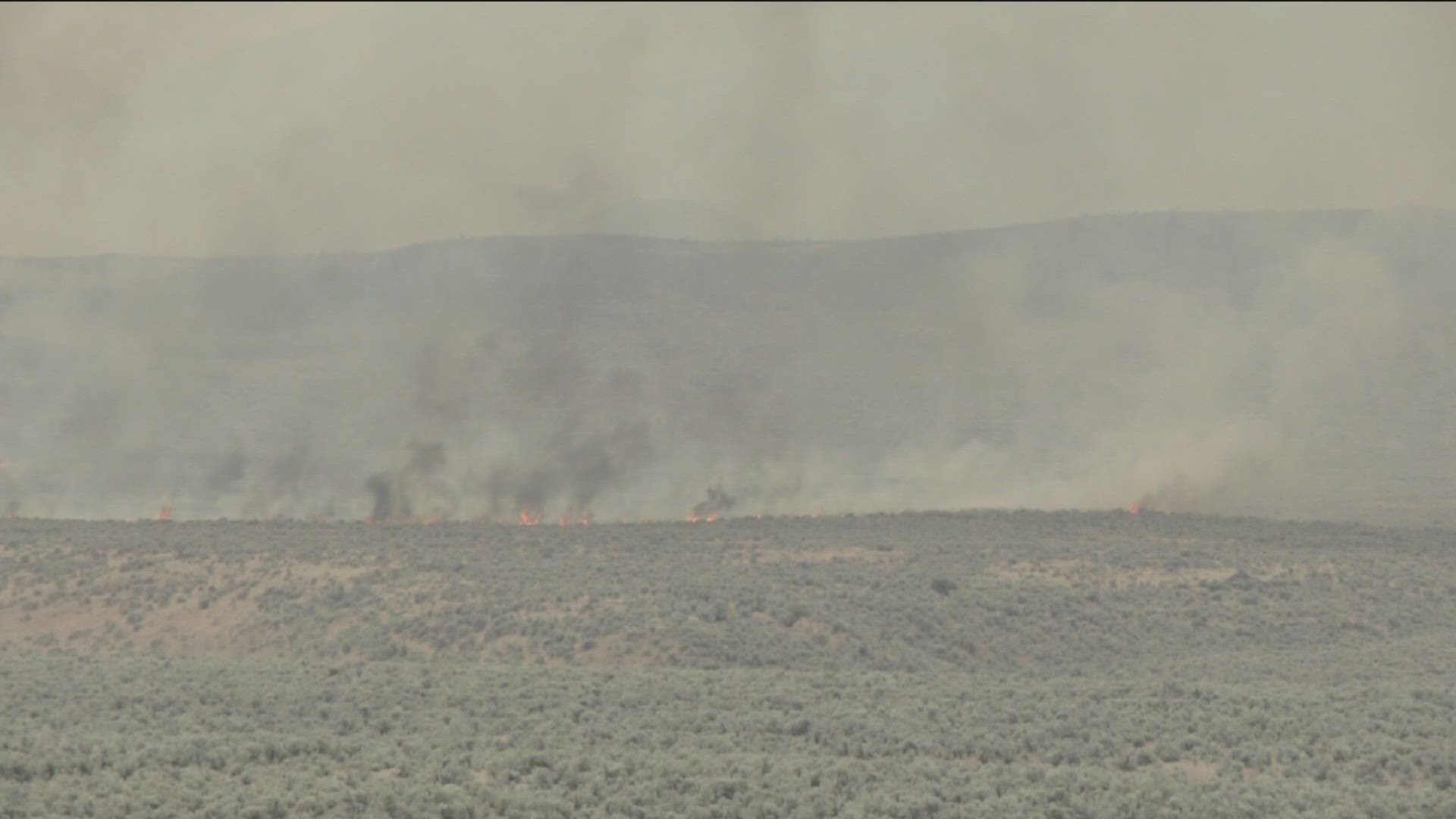
As of Sunday, July 14, the fire has burned 114,559 acres and is zero percent contained. The fire is believed to be human caused and is under investigation.
Update on July 14 at 3 p.m. on The Malheur County Sheriff’s Office evacuations:
"In consultation with fire officials we are issuing the following updates:
Hwy 26 Corridor (Willow Creek, Jaimeson, Brogan) - Conditions have improved. This area’s preparedness condition is DOWN GRADED to “GET READY” or the lowest level of preparedness. Make plans of where you want to go. Have an overnight bag packed and waiting. If you need to plan for places for livestock, now is the time to work all of that out.
The City of Vale is not in danger at this time. Only those that live on the Wildland/Urban Interface, north west of Vale, need to follow these warnings.
NW of Vale (Graham Blvd and North, Alder road and west) – Also DOWN GRADED to “Get Ready”, or the lowest level of preparedness. Make plans of where you want to go. Have an overnight bag packed and waiting. If you need to plan for places for livestock, now is the time to work all of that out.
Westfall area (including Bonita, Indian Valley, Clover Creek areas) – This area has been UPGRADED to the “Get Set” or the next level of preparedness. Fire activity on the Cow Valley Fire has picked up on the southern side of the fire and preparations should be made in case weather conditions and fire behavior increase. You should have your travel supplies and companion animals ready to go within 10 minutes of notice to evacuate. Plans should be set. Don’t go anywhere yet unless you need extra time to get out and travel.
Evacuees are welcome at the Red Cross Evacuation Shelter in Ontario at the Malheur County Fairgrounds, located at 795 N.W. 9th St. The fairgrounds can accommodate companion animals, large animals and there is space for dry camping in RVs as well as showers, air conditioning and breakfast, lunch, and dinner."
The Malheur County Sheriff’s Office has issued the following evacuations:
"The Malheur County Sheriff’s Office, in consultation with fire personnel, is updating the current evacuation levels for the Cow Valley Fire to ensure the safety of community members in Brogan, Willow Creek, Jamieson, Westfall, and Vale. The following evacuation orders are in place:
Residents along Highway 26 from Brogan to Willow Creek, are now at a Level 2 evacuation. This includes residents located north and west of Range Road (also known as Reservoir Road).
The communities of Westfall and Vale are now at a Level 1 evacuation.
Level 2 evacuation means that there is high danger in the area and residents should prepare to leave at a moment's notice. Residents are encouraged to stay alert, and ensure their vehicles are packed and preparations are in place to quickly move people and livestock if necessary. If you or your family require additional time to evacuate, now is the time to do so.
Level 1 evacuation means that residents should prepare to evacuate and stay informed on current evacuation. To ensure your safety and comfort during an evacuation, prepare an overnight bag and a change of clothes, as well as medications, phone chargers and pet supplies.
For the most up-to-date evacuation information, please visit the Malheur County Sheriff’s Office page on Facebook.
For additional information and updates on the Cow Valley Fire, visit https://www.facebook.com/profile.php?id=61562017027302
Evacuees are welcome at the Red Cross Evacuation Shelter in Ontario at the Malheur County Fairgrounds, located at 795 N.W. 9th St. The fairgrounds can accommodate large animals and there is space for RVs as well as air conditioning. American Red Cross is also providing breakfast, lunch, and dinner, as well as showers.
The Malheur County Sheriff’s Office, in consultation with fire personnel, is updating the current evacuation levels for the Cow Valley Fire to ensure the safety of community members in Brogan, Willow Creek, Jamieson, Westfall, and Vale.
The following evacuation orders are in place:
Residents along Highway 26 from Brogan to Willow Creek, are now at a Level 2 evacuation. This includes residents located north and west of Range Road (also known as Reservoir Road).
The communities of Westfall and Vale are now at a Level 1 evacuation.
Level 2 evacuation means that there is high danger in the area and residents should prepare to leave at a moment's notice. Residents are encouraged to stay alert, and ensure their vehicles are packed and preparations are in place to quickly move people and livestock if necessary. If you or your family require additional time to evacuate, now is the time to do so.
Level 1 evacuation means that residents should prepare to evacuate and stay informed on current evacuation. To ensure your safety and comfort during an evacuation, prepare an overnight bag and a change of clothes, as well as medications, phone chargers and pet supplies.
For the most up-to-date evacuation information, please visit the Malheur County Sheriff’s Office page on Facebook.
At 9:45 p.m. on Friday, the Vale District BLM official told KTVB the Cow Valley Fire has grown to roughly 81,000 acres and is at 0% containment. 120 fire personnel are working to fight the fire.
The Oregon Department of Transportation (ODOT) announced at 4:00 p.m. on Friday, July 12 that U.S. Highway 26 is back open between Ironside and Brogan in Eastern Oregon. It said drivers should be careful, and crews will monitor the area throughout the night.
At 1:30 p.m. on Friday, after surveys were completed, Vale District BLM reported the Cow Valley Fire had burned roughly 73,727 acres.
As of noon on Friday, the Cow Valley Fire has caused extensive damage to property in Eastern Oregon. The Vale Bureau of Land Management District reports that the fire is being pushed by gusty winds, hot temperatures and low humidity, causing a lot of fire growth in the past 12 hours. According to Vale District BLM, roughly 20,000 acres had been burned.
Evacuation notices will be issued by the Malheur County Sheriff's Office, and there is a Facebook page with more details about the fire. There is a Red Cross shelter in Girvin Hall at the Malheur County Fairgrounds. For questions about the shelter, please call 208-519-6675."
Early Friday morning, Oregon Governor Tina Kotek invoked the Emergency Conflagration Act for the fire, which allows the state marshal to mobilize state resources.
At 8:45 p.m., July 11, the Vale District Dispatch Center told KTVB that the Cow Valley Fire has grown over 16,000 acres and is threatening citizens in Brogan. 30 to 50 Borgan homes are threatened, and power needed to be shut off to some homes because of the fire's proximity to power lines.
The Malheur County Sheriff's Office at 6:56 p.m. said the Cow Valley Fire had changed direction East, posing a threat to the city of Brogan. The office asks citizens living in Brogan and around Brogan Canyon to be ready to evacuate if fire crews cannot contain the fire.
"Brogan citizens are strongly encouraged to make preparations to vacate your home, should the order come at a later time. Prepare an over-night bag and a change of clothes, as well as medications, phone chargers and pet supplies," the office stated in a new release.
At 5:54 p.m., officials closed Highway 26 between Ironside and Brogan in Oregon. The center said sometime around 5:30 p.m., the Cow Valley Fire jumped the highway.
The center said the Cow Valley Fire, first reported at 7:10 a.m. Thursday north of Highway 26 and nine miles east of Ironside, Oregon. At 4:20 p.m., the fire burned 3,930 acres.
Multiple departments and crews are responding to the fire. Vale Fire Dispatch Center said resources departments are using three BLM engines and one dozer, a Rangeland Protection District dozer, multiple helicopters and airplanes.
Vale Fire said the Cow Valley Fire started on private land and moved to public land.
The Ontario City Police Department said at 3:24 p.m. that the fire was moving toward the highway between mile markers 239 and 247.
Bonita Road Fire
As of Sunday, July 14 the fire was at 2,275 acres. Strong winds are expected and the fire crews are preparing for issues.
The Vale District BLM official told KTVB that the fire had burned 2727 acres at 9:45 p.m. on Friday, but crews had managed to fully lined the fire, and it has a 15-foot buffer. Crews will work overnight to hold the line.
Around 1:30 p.m. on Friday, the fire burned approximately 2,700 acres, authorities said.
Around noon on Friday, there hasn't been an official update on the Bonita Fire, so acreage is unknown.
Vale District Dispatch Center told KTVB at 8:45 p.m. on Thursday that the Bonita Road Fire had grown to 1,837.
At 4:20 p.m., the center said the fire had burned 1,837 acres. It started at 5:14 a.m., south of Highway 26.
Rangeland protection crews and the BLM are on the scene. Authorities said four dozers, helicopters and airplanes are being used to battle the Bonita Road Fire.
Police said to use TripCheck for updates.
This story is developing, and we will update it when information becomes available.
Watch more Local News:
See the latest news from around the Treasure Valley and the Gem State in our YouTube playlist:
HERE ARE MORE WAYS TO GET NEWS FROM KTVB:
Download the KTVB News Mobile App
Apple iOS: Click here to download
Google Play: Click here to download
Watch news reports for FREE on YouTube: KTVB YouTube channel
Stream Live for FREE on ROKU: Add the channel from the ROKU store or by searching 'KTVB'.
Stream Live for FREE on FIRE TV: Search ‘KTVB’ and click ‘Get’ to download.