IDAHO, USA — The Mason-Dixon Line, these days known as the figurative political and social divide between North America's northern and southern states, was originally the border between Pennsylvania and Maryland. It was created in by two Englishmen, Charles Mason and Jeremiah Dixon, to legally separate the disputed territory of the Penn's to the north and the Calvert's to the south.
They did it by surveying the land over a four-year stretch, something they finished in 1768.
That started a trend, and by 1785 the United States had set up a survey system, in order to sell off sections of land to pay off debts from the Revolutionary War. From the "Point of Beginning" between Ohio and Pennsylvania, that system spread west with the acquiring of land. Each territory had to figure its own starting point.
Idaho's was figured out on this day, 156 years ago.
There are countless moments in history, points in time, from where all things evolved. For Idaho, that point is set in stone in the southwestern part of the state, known as the Initial Point.


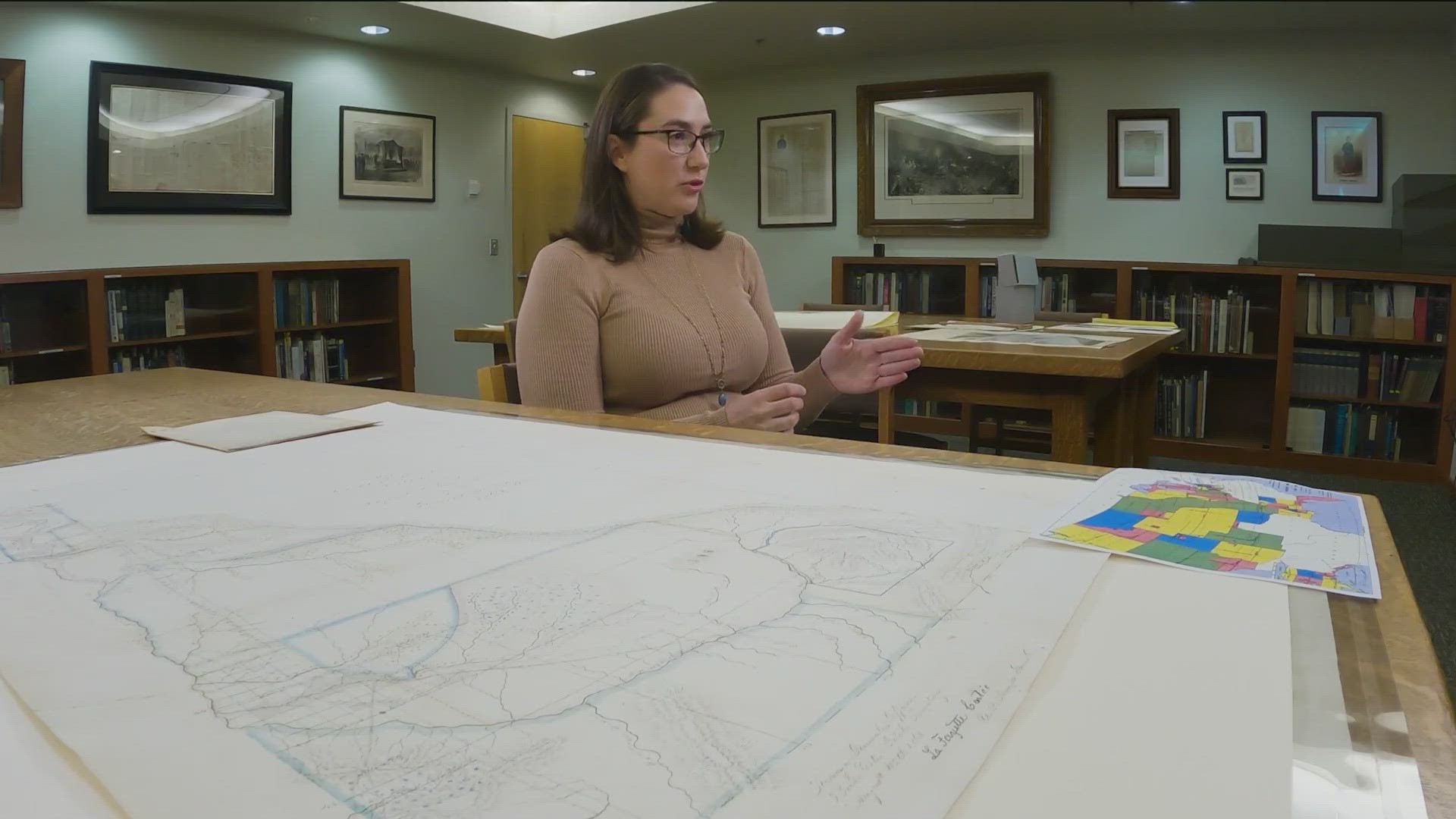
Hannalore Hein, a state historian with the Idaho Historical Society said that the Initial Point is a place on the map where the principal meridian and the baseline meet.
The principal meridian is the main line going north and south and the baseline goes east and west, these terms are critical to the public land survey system.
"Which is how all of the land in the American West was divided and cut up (and then made available) from 1785 through most of the 20th century," Hein said.
For historical context, the land ordinance of 1785 set this survey strategy in motion. It was a money maker for the federal government. Points were picked and land was out in 160-acre plots as the United States spread westward.
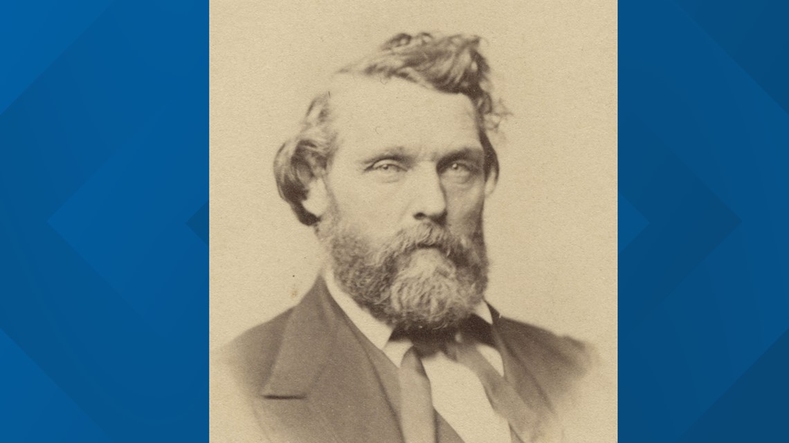
Nearly a century later it was Idaho territory's turn. President Andrew Johnson appointed Lafayette Cartee as Idaho's first general surveyor in 1866.


Hein said the very first step in the process was establishing the Initial Point. The instructions given by the General Land Office was that it had to be a high spot or at the confluence of two streams. Cartee went high and chose a volcanic bump 20 miles outside of Boise.
It was established on April 19, 1867, and the site had even more significance than that.
"So, the Principal Meridian had to radiate north to cover the entire panhandle and the baseline had to radiate east and west to encompass the entire southern portion of the territory," Hein said. "Any survey that happened across the territory of Idaho would radiate out from that point on the landscape."
Cartee, and his brother-in-law Peter Bell, first surveyed the southwestern part of the state. From Initial Point to the southern border and then from Oregon to just east of Boise. After that, surveyors went north into the panhandle because they needed to figure out mining and timber territories.
Hein said it would have been rough going. Walking a straight line, measuring around mountains, into canyons and across rivers, 66 feet at a time.
"They literally were working with chains and links," Hein said, "and they were literally out on the landscape walking with these chains. How long did this take? Decades, there were sections of the state that were still being surveyed well into the late 20th century."
On a map, or in person, people can see how it all lays out from Initial Point.
"If anyone lives on or is familiar with Meridian Road that is the Principal Meridian in the state of Idaho," Hein said.
That is why it's called Meridian.
It wasn't perfectly plotted. During a dedication of Initial Point for Idaho's Territorial Centennial in 1963, organizers pointed out it wasn't on purpose.
"Let’s be tolerant of these old boys who did the pioneer work for us," Hein said. "I do not say that there are no fraudulent surveys but generally we find that the errors are honest mistakes made by honest men."
Hein added, without that moment in time, Idaho wouldn't have had all of the new homesteads and mining claims.
"That set in motion the development of the territory which of course set in motion the economic development," Hein said. "The arrival of people of different cultures and ethnicities and experiences and backgrounds which made this territory and then later the state, what it is today."


There was a viewing platform for Initial Point, built in 1962, but it was vandalized significantly several times over the years. The brass marker has been spray-painted, shot up and even stolen. The one out there now has been in place since 2008.
Download the KTVB mobile app to get breaking news, weather and important stories at your fingertips.
Join 'The 208' conversation:
- Text us at (208) 321-5614
- E-mail us at the208@ktvb.com
- Join our The 208 Facebook group: https://www.facebook.com/groups/the208KTVB/
- Follow us on Twitter: @the208KTVB or tweet #the208 and #SoIdaho
- Follow us on Instagram: @the208KTVB
- Bookmark our landing page: /the-208
- Still reading this list? We're on YouTube, too:

