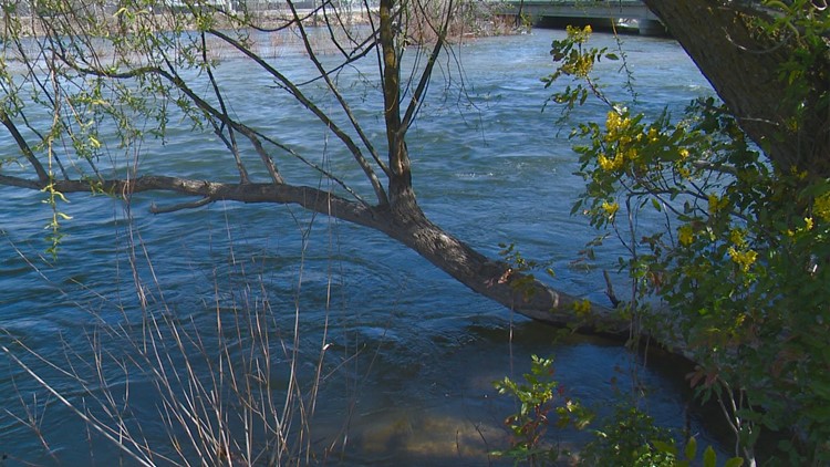
BOISE, Idaho — You will see a decrease in Boise River flows now after water managers reduced the flow rates Wednesday morning.
The U.S. Army Corps of Engineers reduced the flow through the City of Trees by 500 cubic feet per second.
Wednesday morning, the Boise River flowed through town at roughly 6,100 cfs as measured at the Glenwood Bridge gauge.
By noon, the flows should be at approximately 5,600 cfs.
The decrease in flows from Lucky Peak Dam is in response to recent weather conditions and resulting inflows.
Officials say the decrease is necessary to help keep reservoirs filled while managing flood risks later this spring.
As of May 13, the Boise River basin has received 108% of normal October-to-date precipitation, and the snowpack in the basin is 95% of normal, according to the Natural Resources Conservation Service.
Additional adjustments from Lucky Peak Dam are likely in the coming days depending on weather conditions and inflows.
Water managers say at 5,600 cfs, some sections of the Greenbelt path next to the river may be under water, and minor flooding may affect portions of Eagle Island.
A flow rate of 7,000 cfs at the Glenwood Bridge gauge is considered flood-stage level on the Boise River.
Officials advise the public to use extreme caution near the river banks. The water is deep, cold and fast.
Currently, the Boise River reservoirs are at about 81% of capacity. A full supply of irrigation water is anticipated this summer.


