
BOISE, Idaho — The U.S. Department of Agriculture (USDA) Forest Service announced plans for spring prescribed fire burning in 11 project areas across southwest Idaho on Friday.
If weather and conditions allow the burning to proceed as scheduled, around 4,200 acres will be ignited in 11 project areas in the Boise National Forest beginning in April. The burning will continue through June.
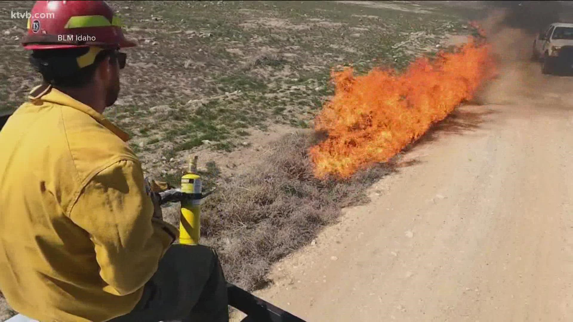
The USDA Forest Service and Boise National Forest said fire managers in southwest Idaho anticipate "favorable spring weather conditions" during the planned low-intensity prescribed fires.
The controlled fires reduce hazardous vegetation in the forest and the potential for wildfires, while improving the habitat of wildlife.
Individuals planning to visit the forest and homeowners in the areas listed below should plan around the proposed dates and locations of the spring burns, according to fire officials. Firefighters and equipment in the burn areas should be accounted for.
Those sensitive to smoke could be impacted by the prescribed burns. The fires may also impact travel routes in certain areas, according to the Forest Service.
The Boise National Forest said information and signs will be posted on roads close to the burn areas prior to the vegetation's ignition. Forest visitors and homeowners must comply with the posted notices and drive slowly in burn areas through completion.
The USDA Forest Service's list of planned spring prescribed burns within the Boise National Forest is included below:
Mountain Home Ranger District
Lower Feather (752 acres): Around 3 miles north of Featherville and north of National Forest System (NFS) Road 156
Idaho City Ranger District
Alder (250 acres): 3 miles north of Placerville
Boise Basin Experimental Forest (300 acres): 2 miles east of Idaho City
Buckskin (300 acres): Around 3 miles east of Idaho City
Little Ophir (300 acres): 4 miles west of Pioneerville
Mores South-Granite Creek (250 acres): 3 miles east of Idaho City
Cascade Ranger District
French Campbell (68 acres): Around 10 miles west of Cascade along NFS Road 422
Willow South GNA (294 acres): Around 5 miles southwest of Cascade along NFS roads 404 and 404G
Lowman Ranger District
West Lowman (566 acres): Around 2 miles northeast of Lowman
Emmett Ranger District
Pinney Slope Rx (960 acres): Around 6 miles north of Crouch, northeast of NFS Road 693
Williams Creek Rx (130 acres): West of Highway 55 between Banks and Smiths Ferry, southeast of High Valley
The USDA Forest Service, Department of the Interior (DOI) Bureau of Land Management and the Idaho Department of Lands will work together on the spring prescribed fire burning.
An interactive map of the planned burns within the Boise National Forest can be viewed by clicking here. Interactive maps of prescribed fire treatments in the Payette and Sawtooth National Forests are also included on the USDA Forest Service's website.
Watch more Local News:
See the latest news from around the Treasure Valley and the Gem State in our YouTube playlist: