
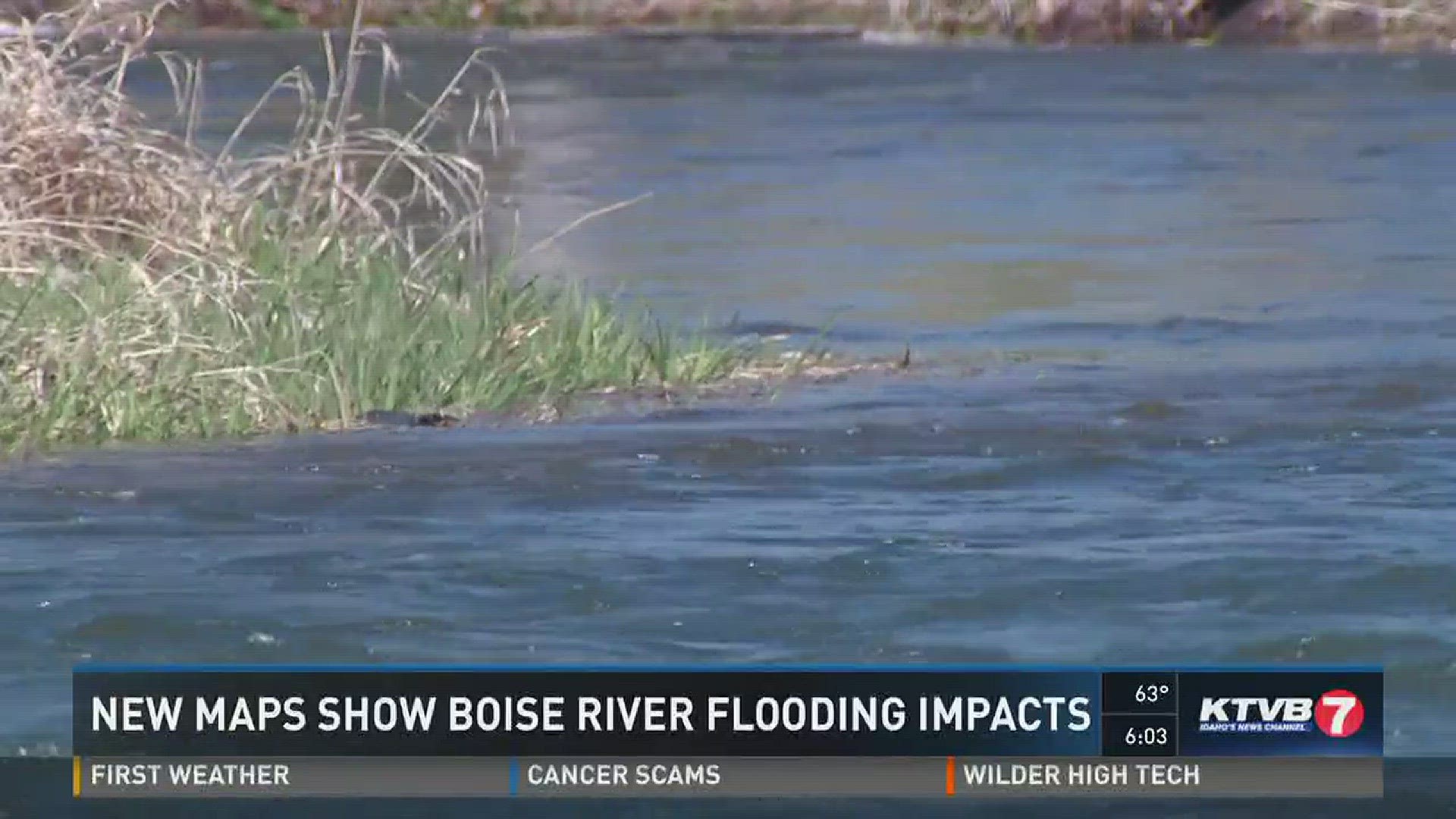
BOISE -- The arrival of spring marks the beginning of flood season in the Treasure Valley, and thanks to a new phase of online maps from the National Weather Service, thousands of people will now be able to see how they'd be impacted should water levels rise along the Boise River.
“For the Boise area, this is new and this is some of the best stuff out there,” said Troy Lindquist, senior service hydrologist for the National Weather Service. “Homeowners, businesses, utility companies or just the cities themselves they can look at these maps and they can say 'wow if we get a flood of this magnitude this is where the impacts are going to be.'”
The interactive maps stretch from Diversion Dam to the Ada-Canyon County line. They provide a detailed look at where water would go and how deep that water would get during 15 different levels of flooding.
The last time the Boise River flooded was in 2012. The National Weather Service says this tool isn't so much about predicting the next flood, but helping to reduce flood impacts on communities by giving them more advanced information for planning.
“These maps show water’s going to start impacting this location and they can plan for that just to move resources around to be prepared for that,” said Lindquist.
Lindquist says even though it's been four years since the last significant flooding of the Boise River, it's important for people to know ahead of time what the real possibilities look like.
“So they don’t become too complacent and just be aware, yeah I am in a flood area and it could happen if the right snow pack or rainfall or weather scenario plays out,” said Lindquist.
The flood maps are available here.