
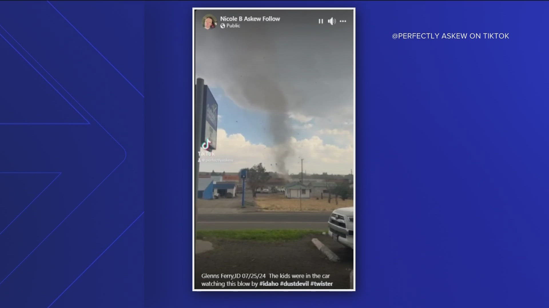
BOISE, Idaho — During a round of strong thunderstorms on Thursday, July 25th, 2024, people from Glenns Ferry captured videos showing a powerful rotating column of air that damaged roofs, downed several trees, lifted debris into the air, and knocked down power lines.
Now, because of those pictures and videos, the National Weather Service (NWS) in Boise has confirmed that this was a landspout tornado. Debris was lofted into the air, a roof was damaged, several trees were downed, and power lines sustained damage. In fact, in some videos you can see power flashes as pieces of debris hit power lines. This information led NWS Boise to assign the tornado an EF-0 rating and to approximate wind speeds at 70-80mph. The tornado had a path length of roughly 0.3 miles and a path width of approximately 100 feet.
A landspout tornado is different from a supercell tornado. In general, they are weaker and don't last as long. In this case, NWS Boise said radar data didn't clearly show a tornado, but that this one in particular likely tapped into the storm's updraft, and that's how it was able to gain strength.
In general, for a landspout tornado to form, air has to be rotating at the surface already. This could have happened because multiple storms in the area were producing outflow boundaries in different directions, causing the air to rotate where they clashed together. Wind shear is another way they can start to form.
The updraft of a nearby thunderstorm can tap into that column of spinning air, which can lengthen and strengthen it. Landspouts will, at some point, become attached to the cloud base.
Again, landspouts tend to be weaker and smaller. Generally, they're an EF-0 or EF-1 rating.
On average, Idaho sees less than half a dozen tornadoes per year.