
BOISE, Idaho — Editor's note: The video posted above is a story about wildfire prevention that KTVB aired in June.
Those restrictions will apply to forests and rangeland in the southwest portion of Idaho -- from the Owyhees to the Little Salmon River -- but some level of fire restrictions are in effect, or likely will be soon, all over the state.
In north-central Idaho, Public land management agencies will implement stricter Stage 2 Fire Restrictions Friday on all lands within the Grangeville Fire Restriction Area. That zone includes state, federal, and private forestland and rangeland in Lewis, Nez Perce, Idaho, Clearwater, and Latah counties.
Stage 2 restrictions are already in effect for the Coeur d'Alene Fire Restriction Area, which is between the Grangeville zone and the US-Canada border.
The intent is to decrease the risk of human-caused wildfires.
Generally speaking, Stage 1 restrictions limit campfires, stove use, and smoking, but they don't ban those activities altogether. However, Stage 2 restrictions, which are already in effect for most of the Idaho Panhandle, prohibit any outdoor wood or charcoal fire.
For both levels, there's a lot more you'll need to know -- whether you're camping, taking a day trip, or doing some work in the woods.
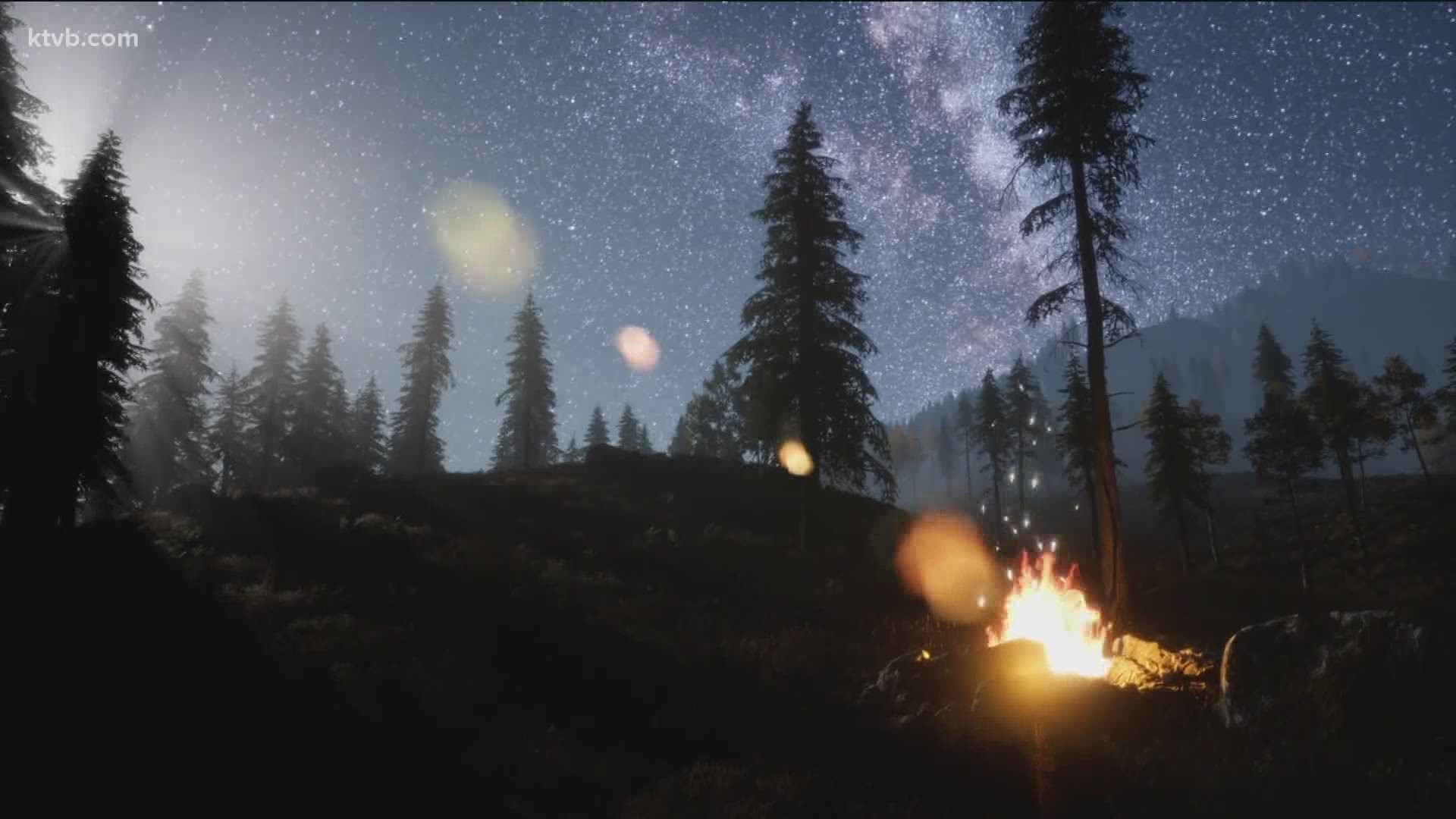
Stage 1 Fire Restrictions
The following acts are prohibited on state and federally managed or protected lands, roads, and trails:
- Building, maintaining, attending, or using a fire, campfire or stove fire except within a designated recreation site and in a permanent concrete or metal fire ring, or on private land, and only within an owner-provided structure.
- Smoking, except within an enclosed vehicle, building, or designated recreation site or while stopped in an area at least three feet in diameter that is barren or cleared of all flammable materials.
The following are exemptions to the Stage 1 Fire Restrictions:
- Persons with a written permit that specifically authorizes the otherwise prohibited act.
- Persons using fire fueled solely by liquid petroleum or liquid petroleum gas (LPG) fuels. Such devices, including propane campfires, may be used only in an area cleared of flammable material.
- Persons conducting activities in those designated areas where the activity is specifically authorized by written posted notice.
- Any federal, state, or local officer or member of an organized rescue or firefighting force in the performance of an official duty.
- All land within a city boundary is exempted.
Each agency may have other exemptions unique to that agency.
Stage 2 Fire Restrictions
The following acts are prohibited:
- Building, maintaining, attending, or using a fire, campfire (wood or gas fueled), or stove fire.
- Smoking, except within an enclosed vehicle or building, a designated recreation site or while stopped in an area at least three feet in diameter that is barren or cleared of all flammable materials.
- Operating motorized vehicles off designated roads and trails in accordance with existing travel management plans.
The following acts are prohibited from 1:00 p.m. to 1:00 a.m.:
- Operating a chainsaw or other equipment powered by an internal combustion engine for felling, bucking, skidding, processing, road building and woodcutting during industrial operations or firewood gathering.
- Blasting, welding, or other activities that generate flame or flammable material.
- Using an explosive.
Exemptions
- Persons with a written permit that specifically authorizes the otherwise prohibited act.
- Persons using a fire or stove fire fueled solely by liquid petroleum or LPG fuels. Such devices, including propane campfires, may be used only in an area cleared of flammable material.
- Persons using stove fires with a chimney of at least five (5) feet in length and employing a spark arrester with a maximum mesh screen opening of ¼ inch on federal lands designated as the Frank Church River of No Return, Gospel Hump, or Selway-Bitterroot Wilderness Areas.
- Persons using metal fire pans - with sides at least three inches high, and a metal grate on top - within a quarter-mile of:
- The Salmon River from the Corn Creek launch site to Vinegar Creek.
- The Middle Fork of the Salmon River.
- The Selway River from the Paradise boat launch to Race creek.
- The Snake River from Hells Canyon Dam to the City of Lewiston.
- Salmon River from Vinegar Creek to its mouth at the Snake River below the mean high water mark.
- Persons using a generator with an approved spark arrestor on areas that are cleared of all flammable materials within three feet of the generator.
- Log loading and hauling only from landings and existing roads.
- Private landowners using charcoal (disposed of properly) or propane barbecues on their own lands.
- Crop lands.
- Emergency repair of public utilities and railroads.
- Any federal, state, or local officer, or member of an organized rescue or firefighting force, in the performance of an official duty.
- Persons conducting activities in those designated areas where the activity is specifically authorized by written posted notice.
- All land within a city boundary.
- An exemption does not absolve an individual or organization from liability or responsibility for any fire started by the exempted activity.
Information regarding fire restrictions and their potential end dates is available from local land management offices. It's also posted on the Idaho Fire Information site.
You can view an interactive fire restriction map here.
Because of smoke from wildfires already burning in Idaho and other states, air quality is another concern this summer. The Idaho Department of Environmental Quality maintains an interactive air quality map with real-time information from air quality-monitoring stations around the state.
Watch more on wildfires in the West:
See all of our latest coverage in our YouTube playlist: