
BOISE, Idaho — The technology of weather tracking has gone through dramatic changes since KTVB went on the air in 1953.
Weather reports became a standard in television broadcasting sometime in the 1950s and evolved from there.
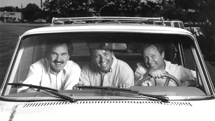
Since then, several meteorologists have walked through the KTVB doors to bring southern Idaho and eastern Oregon daily weather forecasts.
One of KTVB's first on-air weather personalities was Bill Harvey, who actually worked under the station's first call letters, KIDO-TV.
But those look quite different than they did 70 years ago.
When KTVB's Chief Meteorologist Rick Lantz started in January 1983, he put his forecast together using three computer models, and the radar couldn't keep up with storms.
Today, KTVB's high-powered computers are able to translate over 100 models and the radar can provide the current atmosphere in just seconds.
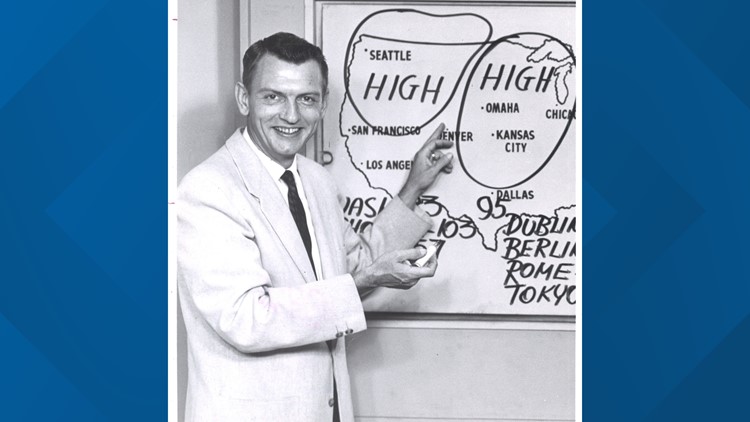
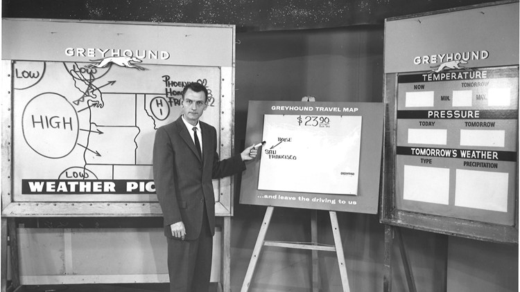
In 1983, KTVB's weather center had just two maps: one of the northwest, and one of the United States.
The maps were magnetic and held up numbers showing the forecast, which obviously changed every day.
The meteorologist was able to print all kinds of maps on what's called a 'facsimile machine,' which used a special kind of ink and took a while to dry.
"When you ripped off those radar maps and stuff like that, they were three hours old," Lantz said. "What good was that? You had a storm in Caldwell three hours ago."
What they could do was apply those maps to the forecast and look at trends.
"So, it's kind of like we looked backward in order to put the forecast together," Lantz said.
At that time, there was a lot of room for error because of so many moving parts and so few resources.
"In 1988, everything changed, because the National Weather Service went to a Doppler radar system," Lantz said.
In 1993, the 'Doppler Radar' came onto the scene in Idaho.
These days, there are more than 155 across the country and more than 1,500 across the world. It's able to give meteorologists exact locations of where it's raining or snowing, down to exact neighborhoods.
The waves hit anything in their path, like raindrops, and snowflakes, which are then reflected back into the antenna. The radar then translates the reflected beams into an image showing the location and intensity of the precipitation.
"Most people who remember whether years ago will tell you, they'll say, 'I don't believe a bit of it,' and I get it," Lantz said. "But really, it's really changed in just the last 20 to 25 years and now our accuracy has come way, way up."
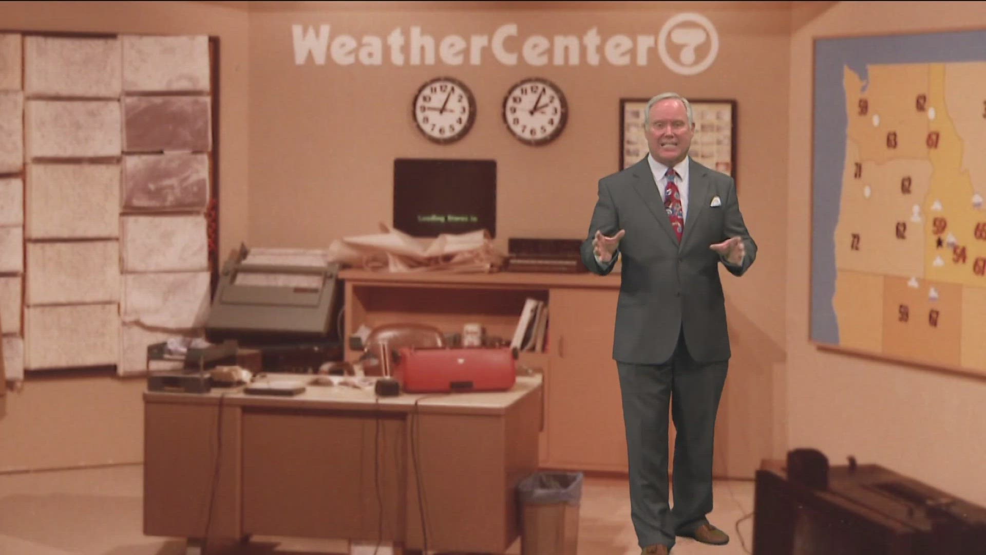
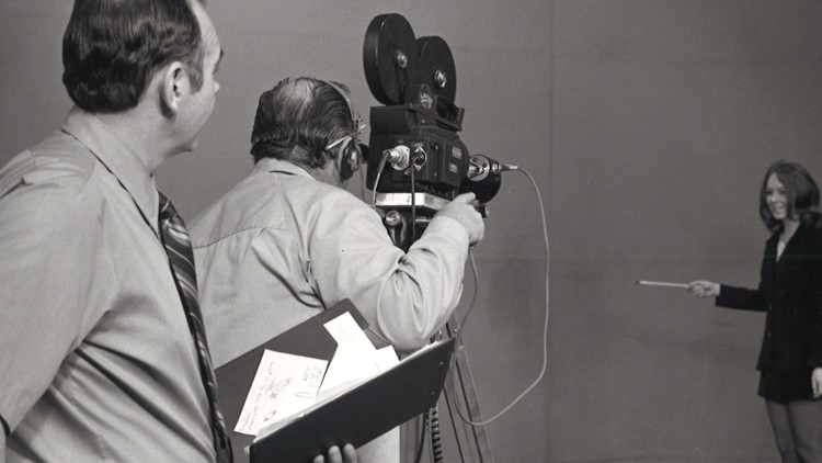
KTVB weather through the decades


Watch more weather:
See the latest weather forecasts and news in our YouTube playlist: