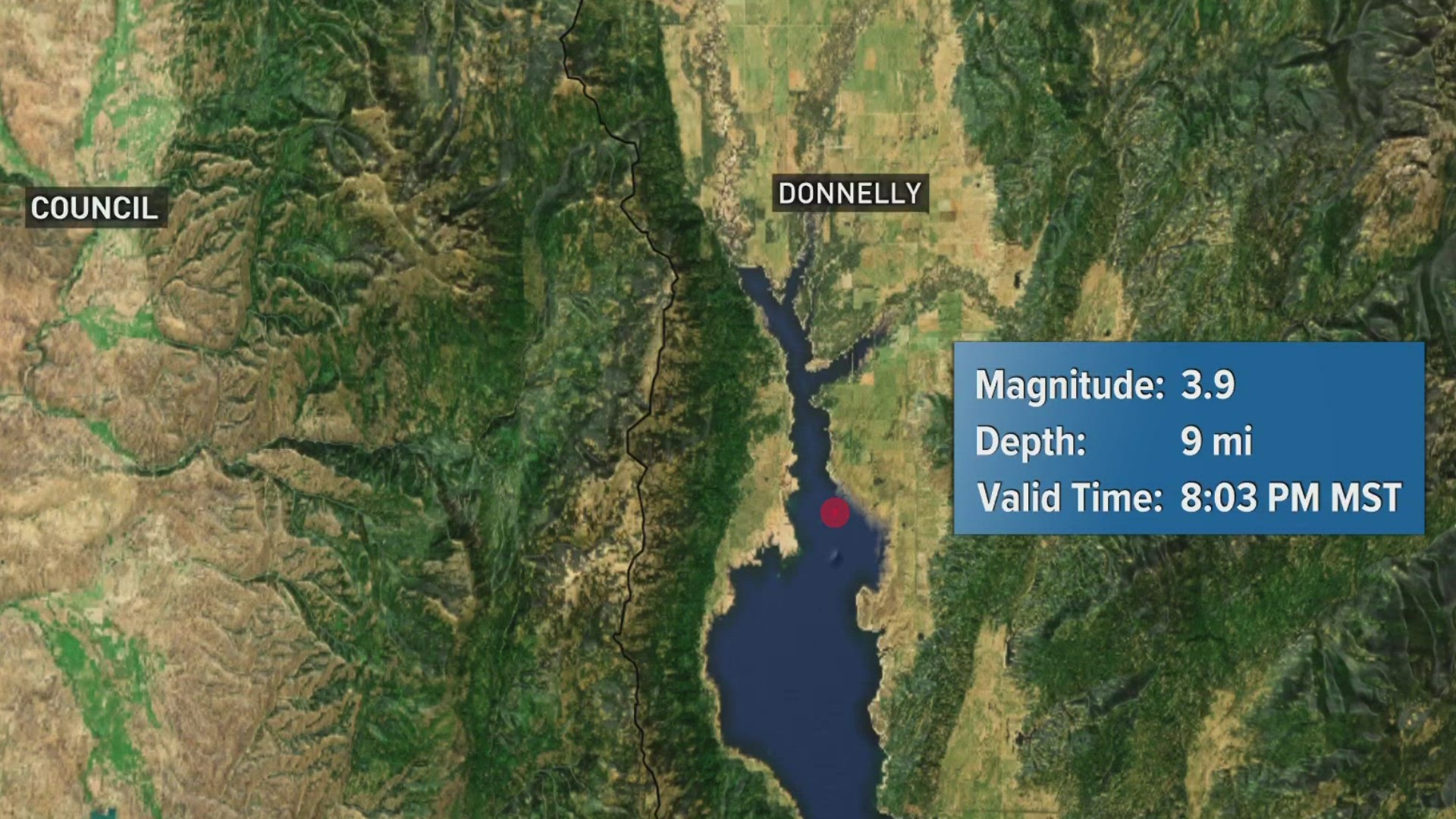
DONNELLY, Idaho — A magnitude 3.9 earthquake struck just after 8 p.m. Saturday south of Donnelly, the U.S. Geological Survey reports.
The USGS detected the earthquake about 11 km, or 6.8 miles, south of Donnelly. The report pinpoints the quake at Lake Cascade, with a depth of 14.8 km, or roughly 9.2 miles.
Magnitude 3.9 is considered weak to moderate in intensity, and quakes of that magnitude are not typically felt across a wide area, but are strong enough to be felt near the epicenter.
The depth of Saturday's earthquake is considered shallow. Earthquakes can be hundreds of miles deep. In shallow quakes, seismic waves lose less energy than waves from deeper quakes before they reach the surface. Deeper quakes are usually more widely felt, but less damaging.
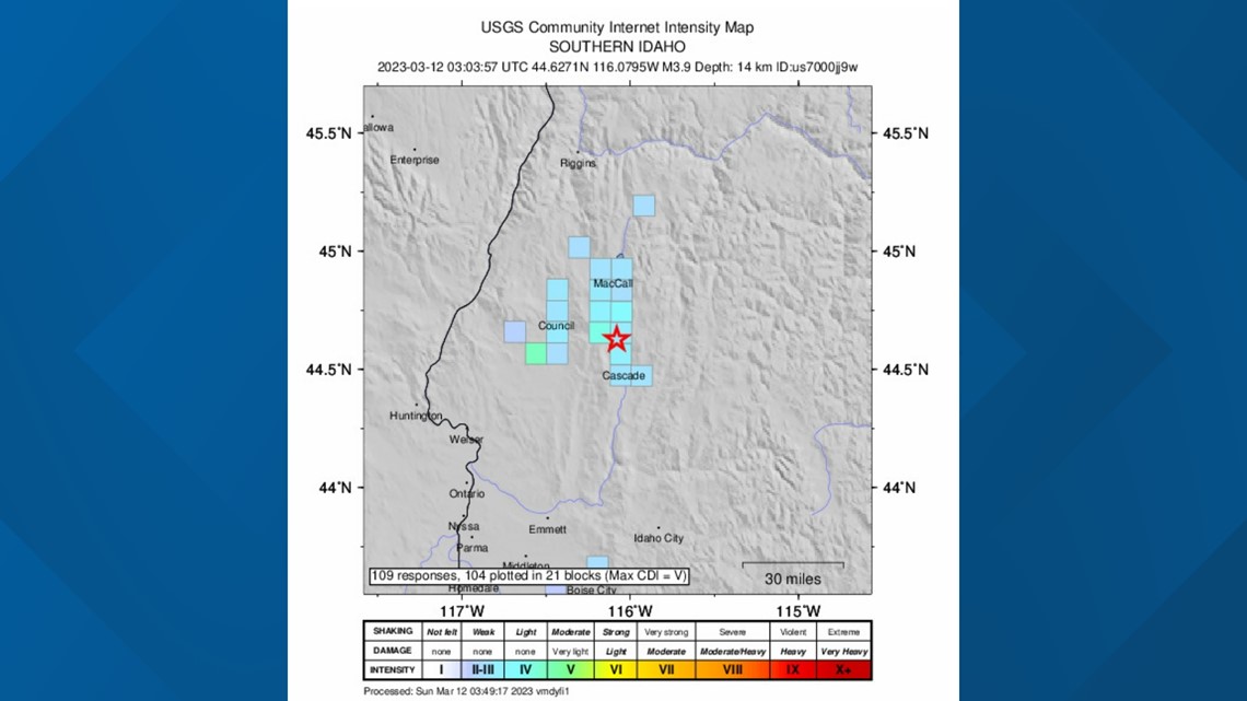
Many people on social media and the U.S. Geological Survey event page reported feeling the earthquake. USGS shows more than 100 people felt the quake, ranging from locations in and around Cascade, McCall and Council.


The strongest earthquake on record in Idaho, the October 1983 Borah Peak earthquake, had a magnitude of 6.9. The state's second-strongest, a magnitude 6.5, occurred on March 31, 2020, about 19 miles northwest of Stanley.
For more information on Saturday's earthquake, visit the USGS event page by clicking here.
Watch more Local News:
See the latest news from around the Treasure Valley and the Gem State in our YouTube playlist:

