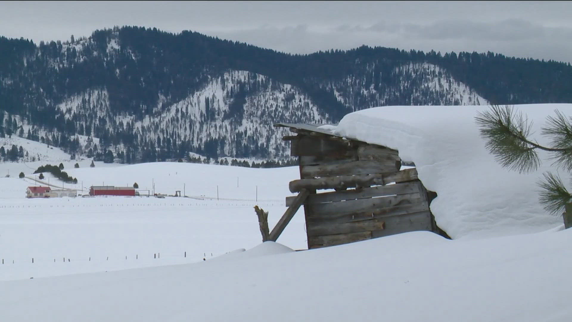
IDAHO, USA — From the signs of spring, to the sizzle of summer, to the foliage of fall, southern Idaho gets its fair share of shifting weather. However, it seems no season brings as much angst and anticipation as winter.
On average, Boise sees about 20 inches of snowfall during the months of December, January and February, AKA the meteorological winter. That total can vary quite a bit depending on the number – and intensity – of winter storms that roll across Idaho and the northwest.
The influence behind the number of storms we might see over the winter months is a climate pattern called the "El Nino Southern Oscillation," or ENSO.
ENSO is one of the most important climate patterns on earth due to its ability to change global atmospheric circulations through the warming and cooling of sea surface temperatures in the Pacific Ocean.
There are three phases of ENSO – El Nino, the warm phase, La Nina, the cool phase, and then the neutral phase.
This year, a weak La Nina pattern is expected to be in play, evidenced by cooler than normal sea-surface temperatures in the central and eastern equatorial Pacific Ocean.
Under the influence of La Nina, the southern tier of the country trends warmer and drier, while we here in the northwest tend to see cooler and wetter conditions. This can amount to higher snow totals than in a typical winter.
So, basically, if La Nina plays out as expected we should have an above normal snowpack, benefiting skiers, snowboarders, and most importantly, our spring water supply.
The National Weather Service (NWS) here in Boise stated, this year in particular, a La Nina set-up signals great news for Idaho.
"Idaho gets most of its precipitation and moisture in the winter-time so if La Nina can help boost those averages up a little bit, that could help provide some drought relief," stated the NWS Warning Coordination Meteorologist Jay Breidenbach.
Remember, all the snow that falls in the mountains in the winter, melts in the spring, feeding our river and reservoir systems which provide water for irrigation and agriculture.
Additionally, after the hot summer of 2024 a boosted snowpack is exactly what our area needs.
"We had 20 days over 100 degrees in Boise so that did make the drought situation a little bit worse in the summer," Breidenbach said.
Even with the recent inversion that kept precipitation at bay for a while, the storms we have seen may be an early clue to what could happen down the road.
"So, already we've already had an active weather pattern here in Idaho, especially the middle part of November, that's typically what a La Nina pattern looks like and it actually built our snowpack in the mountains to an above normal level for this time of year," he said.
For you snow-lovers who think there is never too much snow, let's think back to "Snowmageddon" of nearly 9 years ago.
That La Nina winter dumped nearly 40 inches of snow in Boise, and if you lived through it, you know it really was too much of a good thing.
"It's too early to tell if we'll have much snow this winter, probably not that much," Breidenbach said.
Ultimately, it's all an odds game on whether La Nina will play out as we think it will, with most long-range forecasts giving it a 60-70 percent chance of coming to fruition.
So, while it's possible that we could still see a normal or drier-than-normal winter, I'd place my money on picking up a little more powder – and some chillier temperatures - than we usually see here in the Gem State over the next few months.

