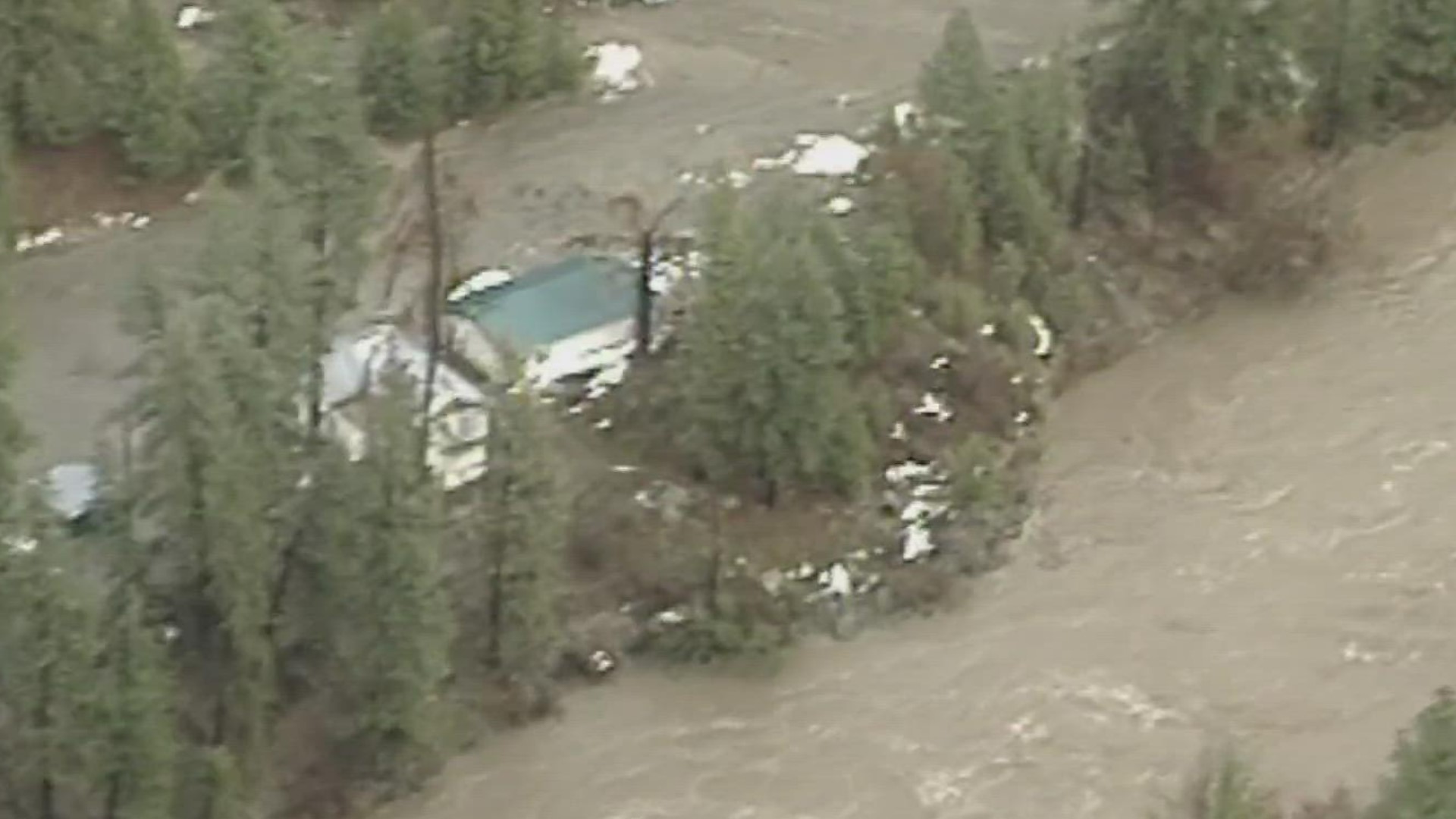
BOISE COUNTY, Idaho — Editor's note: A line in the video refers to Midvale as being in Adams County. It is in Washington County.
Idaho has had its share of natural disasters -- droughts, floods, wildfires and occasional earthquakes. Few actually wipe out a town, but that's exactly what happened more than a quarter-century ago.
On New Year's Day 1997, along the Payette River and Idaho highway 55 north of Horseshoe Bend, regarded as one of the most scenic drives in southwest Idaho, a mountainside saturated by rainfall in unseasonably warm weather gave way above the community then known as Lower Banks, sending mud and debris down a narrow canyon.
Lower Banks had a handful of houses and mobile homes, a motel, a café, a gas station and an RV park. It was about two miles south of what used to be called Upper Banks. Today, Upper Banks is simply Banks, located at the junction of Idaho 55 and Boise County Highway 17 -- the Banks Lowman Road -- where the main Payette River and the North Fork of the Payette meet. The area where Lower Banks was is now a wide pullout area.
The events leading to the mudslide began to take shape in December 1996. Snow piled up in the mountains, then on Christmas Even, the weather pattern started to change. Unusually warm air and heavy rainfall streamed into southwest Idaho from the tropics, near Hawaii, and temperatures climbed into the 50s and 60s -- unseasonably warm for southwest Idaho that time of year.
Snow levels -- and rivers -- started rising around southwest Idaho, and the rivers began to flow out of their banks. By New Year's Eve 1996, the ground was so saturated, it couldn't hold any more water.
What happened the next day, New Year's Day 1997, was a catastrophe for the little town of Lower Banks. The mountainside above the town collapsed with what sounded like a dozen freight trains, according to one eyewitness.
Hundreds of tons of mud, rocks and water roared down the slope across Highway 55, slamming into Lower Banks and burying the Trail's End Motel. Mud seven feet deep swept into buildings, carrying huge boulders and trees. Residents, workers, and customers ran for their lives. Fortunately, no one was hurt or killed.

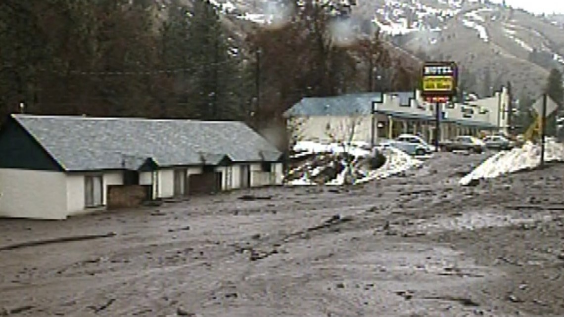
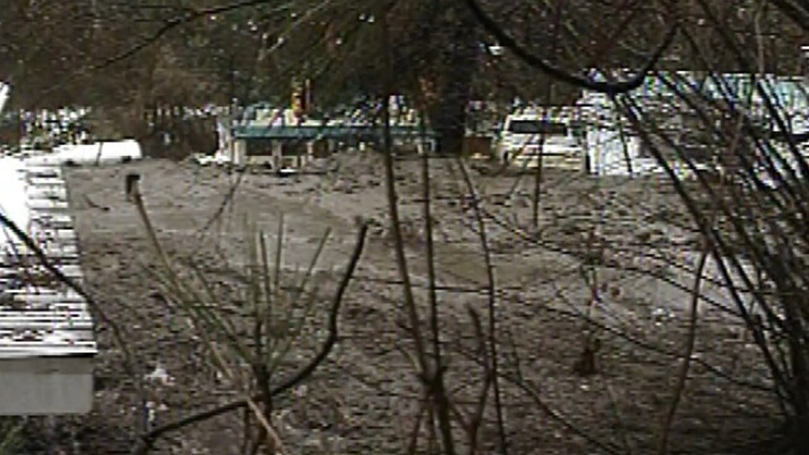
Across the highway, the thick, oozing mud buried cars, trucks and campers, filled houses and knocked trailers off their foundations. The slide took out power lines, phone lines and the town's water supply. Highway 55 was left impassable.

Lower Banks wasn’t the only community hit by floods and mudslides. All across Idaho, high water and mudslides closed highways and devastated communities. The Weiser River rose seven feet above flood stage, swamping much of the town of Weiser. In Adams County, the raging Weiser River cut a swath of destruction through Midvale, forcing people out of their homes, and flood waters poured over Black Canyon Dam at Emmett.

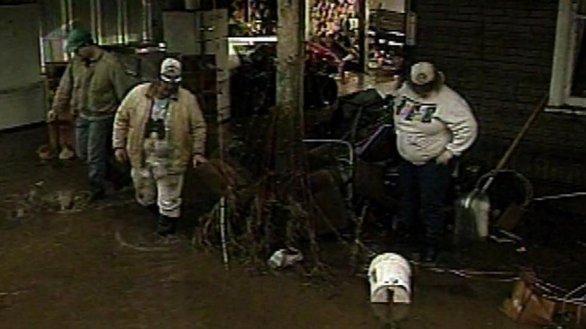

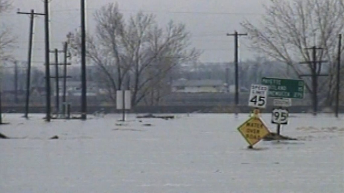
Idaho was cut in half, as the only north-south routes, Highways 55 and 95, were unusable. In addition, Highway 21 from Idaho City to Lowman, and Highway 17 from Garden Valley to Lowman, also suffered major damage from mudslides and flooding, leaving many communities isolated and cut of from the rest of the world, including McCall and Cascade, Lowman, Garden Valley and Crouch. While these towns eventually got back to normal, Lower Banks never recovered.

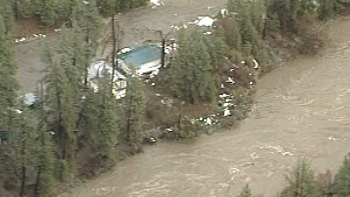
Because of the geological hazard, and threats of ongoing landslides, Lower Banks was eventually condemned, deemed too dangerous for property owners to go back to. Today, there's barely a trace indicating the town of Lower Banks ever existed.
It took more than two weeks for Highway 55 to reopen. Six months later, a July thunderstorm triggered another mudslide, closing the road again. By then, Lower Banks had been abandoned.
The geological forces that shaped the canyon there are still at work today.
Zach Lifton, a hazards geologist with the Idaho Geological Survey, said these locations, and many other places throughout Idaho, continue to be under the threat of landslides.
“The geology, especially along Highway 55 and parts of Highway 95, is essentially pretty prone to landslides and debris flows because it’s made up of what we call Idaho batholith granite, which sounds like a good solid rock, but it’s been fractured and weathered quite a bit, so there’s a high potential for erosion there, Lifton said”
Lifton added that along Highway 55 it is really steep and the river has cut the canyon down even steeper.
“I think that almost certainly these things are going to continue to happen," Lifton said.
Watch more Local News:
See the latest news from around the Treasure Valley and the Gem State in our YouTube playlist:

