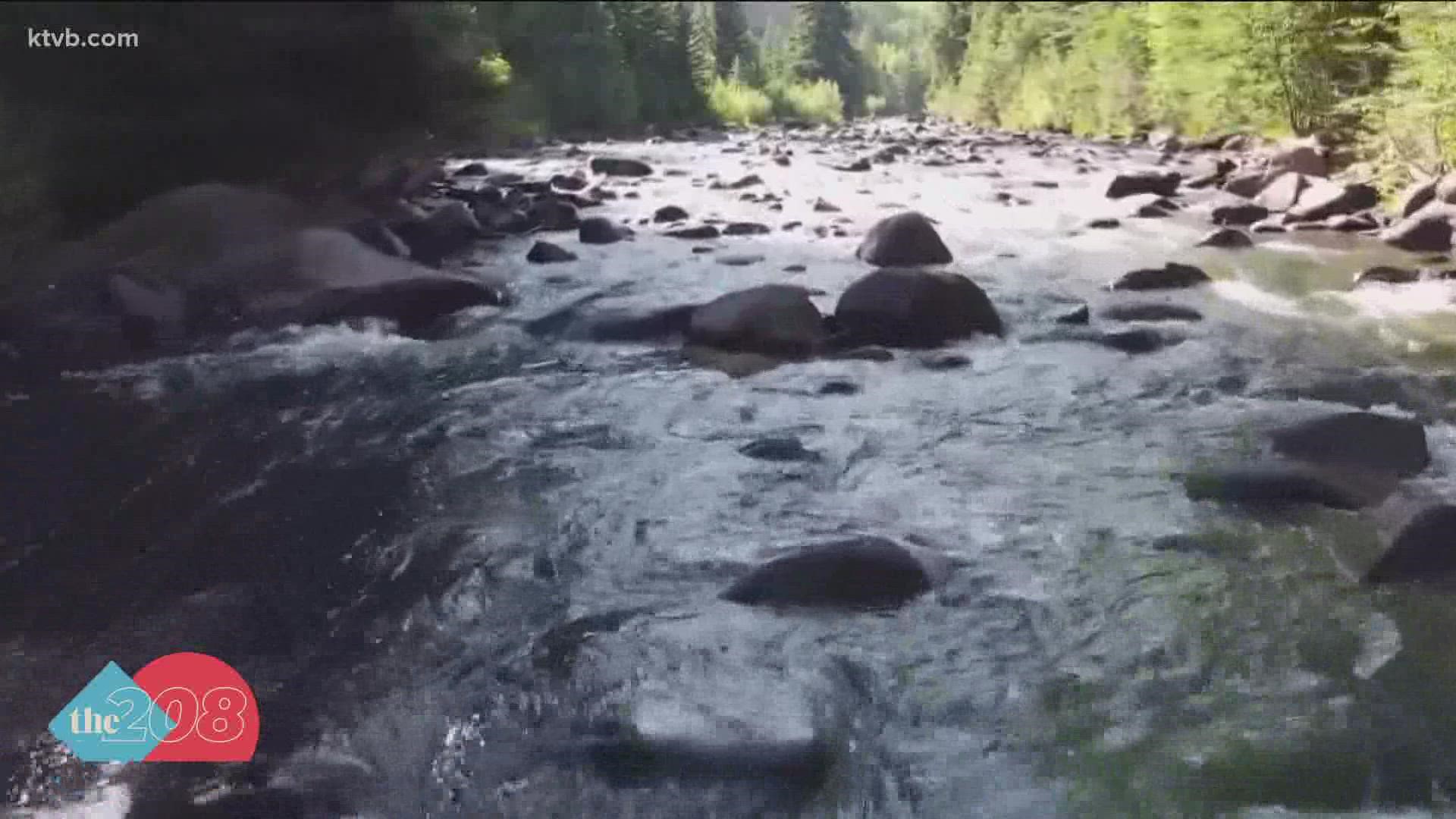
BOISE, Idaho — The bomb cyclone, an atmospheric river, brought rain, wind and snow from the coast of California and into Idaho.
"It really hit San Francisco and that's where they had the crazy flooding, came over the Sierras and up through Nevada and over the Owyhees up into the Boise and then back into those central mountains,” said David Hoekema, Hydrologist with the Idaho Department of Water Resources. “It really hit the area of the state that has been in drought pretty hard."
He added that considering Idaho's current drought conditions, any kind of precipitation is welcome.
“We are sitting in a really good spot, this is just an ideal storm system that came in and it hit right where it needed to it,” he said.
According to the National Weather Service, October 2021 is the fifth wettest October in Idaho since 1940.
"Boise has received 1.95 inches of rain this October, which is well above the normal October value of 0.92 inches," said Jay P. Breidenbach a Warning Coordination Meteorologist.
With Idaho reservoirs near record lows for this time of the year, Hoekema said the water year, which began on Oct. 1, needs to bring 120% of normal precipitation.
“We are going to need on the Snake and the Boise, more than average because right now the reservoir systems were brought down to about ten percent of content and it takes more than an average year to restore your reservoir system,” he said.
According to Hoekema, southeastern Idaho and North Idaho are still severely dry and in dire need of precipitation. While the recent storm is an optimistic start to the water year, he said Idaho has a long way to go in order to reverse current drought conditions.
“The soil moisture at the snow tell sight at the Big Wood River and the Little Wood we are seeing the soil moisture come up which is awesome it means that if we can get some snowpack on top of that, those wet soil will have a much more efficient runoff and last year the runoff efficiency was terrible,” Hoekema said.
He added that a La Nina year is expected and typically, they bring above-average snowpack levels but that’s not predicted to be the case.
“Over the last 30 years we have had back to back La Ninas and the following La Nina has always been drier than the one before and since our last La Nina was just under average, if that pattern continues, we will be in for another year of drought,” he said. “Hopefully that pattern breaks and if it does we will be really thankful, but right now there is a lot of concern.”
During the recent storm, the five-day precipitation totals measured three to four inches at several locations in the Boise mountains. The hope is that the weather trends continue.
“I would just encourage people not to get too excited as they see another atmospheric river come in it's what we need to see and it's what we hope to see but it’s going to take two or three of these big atmospheric rivers to really turn the situation around,” Hoekema said.
Join 'The 208' conversation:
- Text us at (208) 321-5614
- E-mail us at the208@ktvb.com
- Join our The 208 Facebook group: https://www.facebook.com/groups/the208KTVB/
- Follow us on Twitter: @the208KTVB or tweet #the208 and #SoIdaho
- Follow us on Instagram: @the208KTVB
- Bookmark our landing page: /the-208
- And we also turn each episode into a podcast on Podbean
- Still reading this list? We're on YouTube, too:

