BOISE, Idaho — Thanks to above average temperatures, the City of Trees had a rainy weekend instead of inches of snow. The rainstorm set a record for most precipitation for January 26, with 0.74 inches of rain.
The previous record for January 26 was set in 1970 with 0.40 inches of precipitation.
Sunday's storms also brought between four to six inches of snow to the region's ski areas. Now, there is a Winter Weather Advisory in effect for the West Central Mountains for 11 p.m. Monday until 5 p.m. Tuesday. The mountain valleys should expect another four to six inches of snow, with more than nine inches of snow in the high mountain areas.
The high temperature for Sunday was 46 grees, which is seven degrees above the normal of 39. This has been the norm for most of January, with the average temperature to-date coming in 6.0 degrees above normal for the month. Currently, that puts January 2020 as the 13th warmest on record through Jan. 26.
These above-average temperatures aren't going away either. March-like temperatures will roll in to start February, with highs into the 50s for the weekend.
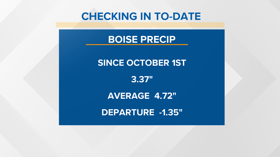
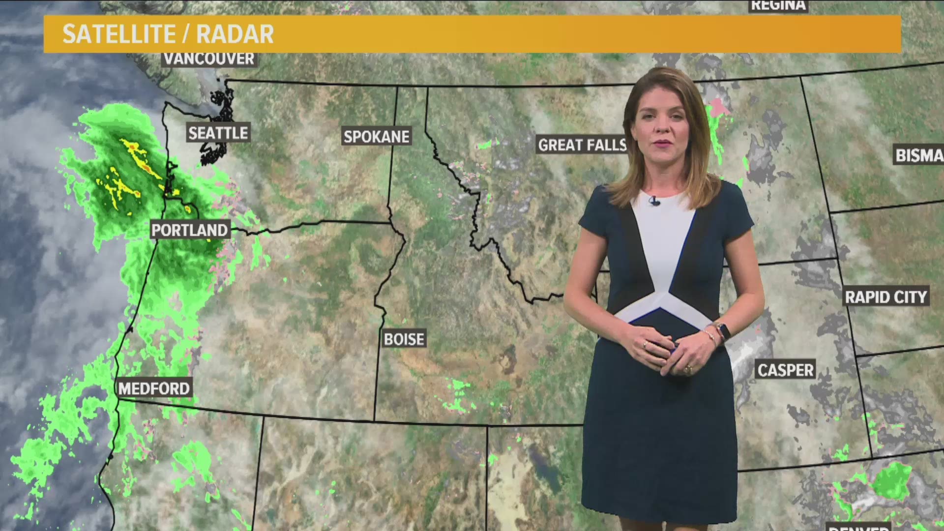
The rainstorm Sunday did help bring Boise's precipitation totals closer to normal for the water year, but the total still lags by 1.35 inches. However, more rain is on the way Tuesday, bringing between a quarter to a half-inch of rain to the Treasure Valley.


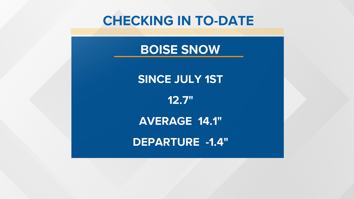
Despite the average temperature for January being so abnormally warm, we still had a week of winter weather in the region. With the snow that fell from the eight of January through the 16th, Boise is now sitting very close to average snowfall for this point of the winter.
Also worth noting, snow totals are counted starting on July 1, even though we don't typically see snow in the months of July, August or even September.


RELATED: 3 years after 'Snowmaggedon,' the Treasure Valley experiences an abnormally dry and warm winter
Watch more weather:
See the latest weather forecasts and news in our YouTube playlist:

