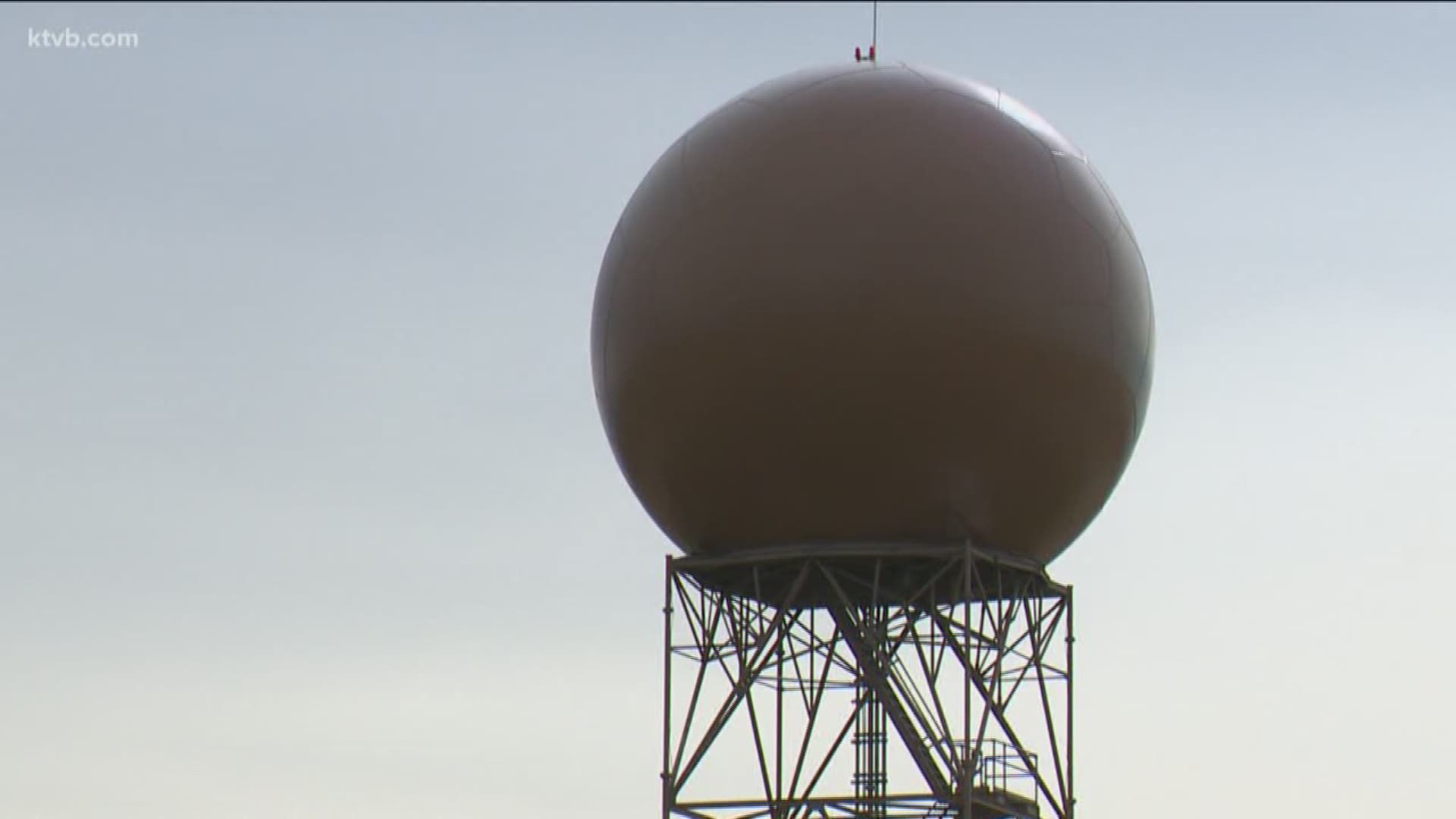
With the active weather pattern we've seen lately, meteorologists and weather watchers have relied heavily on radar data to show where showers and storms are happening.
The radar site in Boise, which provides valuable weather imagery for all of southwest Idaho and southeast Oregon, has been taken out of working order. This outage is for planned upgrades and refurbishment and will last for an estimated three weeks, according to NOAA. That means radar imagery between Baker City and the Magic Valley will be limited.
The imagery that the radar provides is very necessary for "NOWcasting;" it's used to track where precipitation is falling, what type of precipitation is falling (hail, rain, snow), which direction showers and storms are moving. Radar imagery can also provide wind velocity information, which was used to track a confirmed tornado northeast of Mountain Home on Memorial Day.
Here's an example of the radar imagery KCBX provided from recent showers and storms moving through southwest Idaho:
For the next three weeks, while the KCBX Boise radar site is experiencing the outage, it may prove to be frustrating at times. Not only will we not have the data for our weathercasts on KTVB, but the data will not show up in any weather app that you use to track showers and storms. Meteorologists and weather watchers will have to rely on satellite imagery and limited data from neighboring radar sites in Pendleton, OR, Elko, NV and Pocatello, ID.
Still, it's planned and an important update to the equipment. The improvements will keep the 25-year-old system viable into the 2030s, said Jessica Schultz, deputy director at the National Weather Service Radar Operations Center in Norman, Oklahoma.

