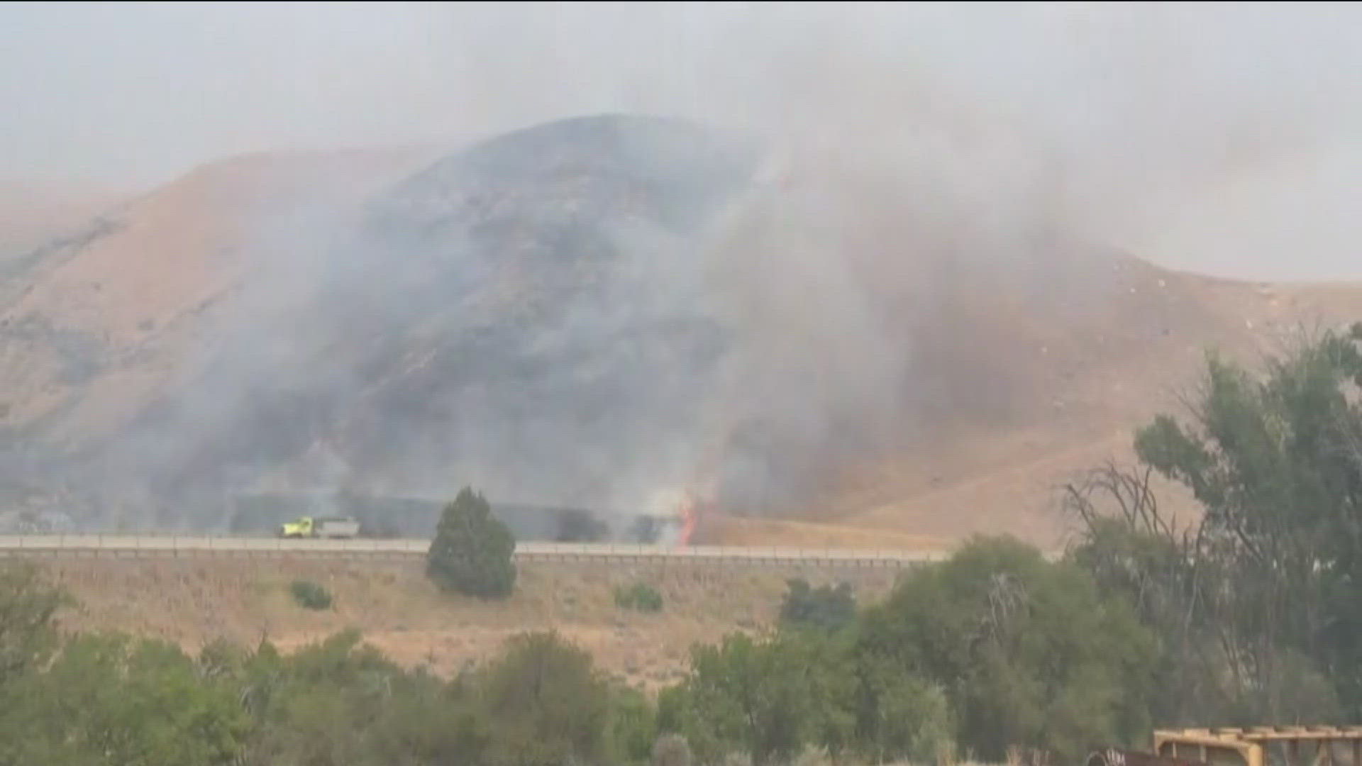
IDAHO, USA — Several wildfires continue to burn across the region.
Some of the fires are prompting evacuation notice, while others have people on standby - ready to leave at a moment's notice.
These wildfires have only grown over the week, keeping fire bosses on high alert as well.
Cow Valley Fire
As of Wednesday, July 24, the fire is 133,490 acres and is 91% contained. The Vale Bureau of Land Management believes the fire was human-caused.
The Cow Valley Fire has prompted several evacuation notices from the Malheur County Sheriff's Office.
The Westfall area (including Bonita, Indian Valley, Clover Creek areas) is under a Level 2 "GET SET" evacuation notice, meaning residents should be ready to leave at a moment's notice.
The Malheur County Sheriff's Office said the City of Vale is currently not in danger.
The Red Cross has set up a shelter at the Malheur County Fairgrounds.
A GoFundMe has been created to help ranchers cover the cost of hay they need.
Bench Lake Fire
The Bench Lake fire is burning a few miles South of Stanley, and is about 2,595 acres as of Wednesday, July 24. The cause of the fire is still unknown.
The threat of flames spreading has closed Redfish Lake - including the recreation complex, campgrounds and roads.
The Bench Lake Fire is 34% contained as of Wednesday morning.
The Sawtooth National Forest and Idaho Department of Lands announced on Tuesday that they will implement a Stage 1 burn restriction beginning on July 17.
A GoFundMe has been created to help support the Redfish Lake Lodge staff and affected families.
RELATED: Redfish Lake Lodge owners staying resilient as wildfire flames endanger popular destination
Durkee Fire
The Durkee Fire was sparked by lightning in eastern Oregon, in between Ontario and Baker City.
The Vale District Bureau of Land Management reports that the fire is roughly 244,858 acres as of Tuesday at 6:30 p.m. There are also several evacuation notices.
Friday morning, BLM reported the current evacuation level for the Durkee Fire is Level 3 'GO NOW'. The Level 3 warning has been issued for the Rye Valley, and the area around Powder River and Brownlee Reservoir to Huntington, east of Iron Mountain Road and Timber Canyon to the Snake River.
Level 2 'Be Set' evacuation has been issued for the area of rangeland easy of I-84 to Highway 21 extending south.
Level 1 'Be Ready' has been set for the area south of Dry Gulch Road to the Powder River. The town of Richland is NOT under an evacuation notice, as of 1 p.m. on Tuesday.
It is 0% contained as of Tuesday at 6:30 p.m.. Fire crews are expecting an Aug. 8 containment date.
Other Eastern Oregon Fires
Vale BLM has reported that several fires have broken out nearby the Durkee Fire. Caused by lightning, these smaller fires start east of I-84 between Crandall and Richland, known as the Badlands Complex.
As of Tuesday morning, the Thompson, North Thompson, Crandall and Gold Creek fires have all merged, located 5 miles east of the Durkee fire. An estimated 10,000 acres have been burned.
Coyote fire is located between the Snake River and Snake River Road, 5 miles southeast of Richland. It's burned an estimaged 1500 acres, as of Tuesday afternoon.
Bonita Road Fire
The Bonita Road Fire is burning near the Cow Valley Fire, just South of Hwy 26. As of Wednesday, July 24, the fire has burned 2,727 acres and is 90% contained. No smoke is visible from this fire, and crews are currently doing 'mop up' work - or mixing hot ashes with water and soil to reduce heat in the area.
Mary Fire
The Mary Fire is burning Northeast of Riddle, near the Nevada border. The fire is about 6,000 acres, and the Boise District BLM believes it was caused by lightning.
Hwy 51 is open, however the BLM is asking people to be careful in the area.
Due to ongoing conditions, the BLM has extended its red flag warning through Sunday at midnight. A red flag warning means there are critical weather conditions increasing the likelihood of fire - so extra precautions should be taken.

