
BOISE, Idaho — The inland Northwest is shrouded in smoke and baking in scorching temperatures, which is a sure sign that fire danger is high across the region. Part of understanding the fire risk is knowing what types of fuels are out there.
Forestry agencies like the Bureau of Land Management track fuel loading (how much fuel a fire might burn) and vegetation moisture (how much moisture a plant is retaining), among other variables, to understand fire risk.
Developers of the "Fuels Data" app are working to make the fuel load tracking process easier.
In general, there are several fire burning aggressively across the region, including the Falls Fire and Cow Valley Fire, both of which are in Oregon. But so far, it's a different story in the Boise District for the Bureau of Land Management (BLM).
Nolin Page, fire planner for the Boise District BLM said, "we're just above average." He added the district has had 44 fires this year, and the seasonal average for this point in the season is 43.
"What we're noticing right now though, that's different from years past, is we've had two to three, four slow seasons," Page said.
He elaborated it's not that fires haven't sparked, they just haven't burned as many acres.
"Right now, we're at 16,000 acres burned to date. Our 25-year average is 65,000 acres a year on BLM specific ground. The five-year average is 19,000 (acres)," Page said. "It's really causing a lot of fuel loading, a lot of build up of excess grass from the years past."
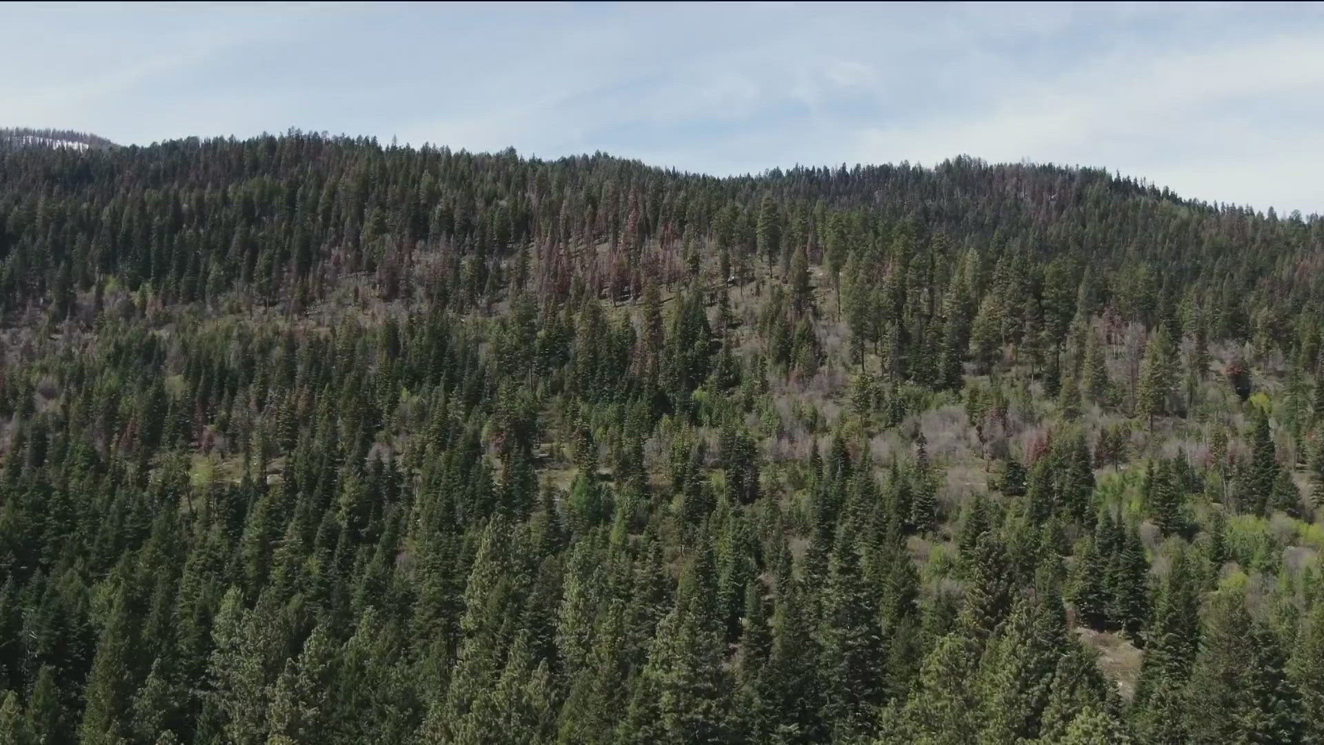
In addition, the Bureau of Land Management said grasses have grown particularly long this year after a wet winter and spring. BLM said the annual grasses at lower elevations have less than 15% of moisture content and have stopped growing. Higher elevations are starting to follow suit as well.
"The Boise range has a light, flashy fuel and abundance of it," Page said. "So, our fuel type is very susceptible to being wind driven."
The Bureau of Land Management has six sites its takes more precise fuel moisture measurements at. Page said BLM tries to get a variety of elevations to get a full idea of conditions across the region.
"The main thing we're looking at is our herbaceous cover, like sagebrush," Page said. "We have a couple sites where we will check juniper … We're focusing on the shrubs because everybody knows the grass is going to dry out. Once it goes to seed, then the grass is a static number. The variability in the brush is what's going to make a difference."
Taking these fuel moisture measurements is tough work but, there's an app in development that could make it a little easier.
"We believe in using technology and AI for good," said Virginia Sjahli, Technical Program Manager for the Allen Institute for Artificial Intelligence.
This nonprofit is based in Seattle. Sjahli said every year in Seattle, they're impacted by wildfires, so that's what spurred their idea of finding a way to help limit wildfires in the wildlands.
Sjahli said the Allen Institute of Artificial Intelligence sent engineers and researchers to see what the fuel load tracking process looks like right now. They teamed up with University of Idaho professor, Heather Heward, to do so.
"We realized the effort is very labor intensive," Sjahli said.
She added whoever is doing the evaluation has to go into the field, loaded down with gear.
"They have to look at the reference image, that they also carry, compare that to what they see on the ground, and they have to apply a formula and use your calculator and write down their findings," Sjahli said.
The "Fuels Data" app aims to make this a much simpler process.
"Basically, a practitioner can go out into the field, take the photograph of the fuel bed using their digital camera or camera phone, and the AI will calculate right away how much fuel loading from that image," Sjahli said.
Right now, Sjahli said they need people from across the Northwest to submit more images to the app, so the artificial intelligence continues to get trained.
"We're gathering the data set that they're collecting, so that way we can continue to build our AI and make their job even easier," Sjahli said.
Sjahli added in Washington state, land owners are now allowed to do prescribed burning on private property. The app is an approved resource with the Washington Department of Natural Resources for land owners to get their permit. They just collect their fuel loading data through the app and using that information, they can submit their burn permit.
The Allen Institute for Artificial Intelligence also said they have an open language model that was "made by scientists for scientists"
"When you see AI, it's like magic. You don't know they get to the answers," Sjahli said. "Users are not exposed to how AI is being trained, so with this open language model, we expose the data set, that way the researcher can get to it, use our data set to look into what is going on and then they can also improve the AI itself."